5 days · Iceland · 1,140 km · 20 h 55 driving · 4X4
Iceland Highlands by 4x4 in 5 days
Þórsmörk by bus, Landmannalaugar by the ford-free F208, Kjölur to Hveravellir, Askja from Mývatn: about 1,140 km and 21 hours inside the published opening windows.
By supjourney editorial team · published 1 November 2026 · ledger checked 1 November 2026 · 6 min read
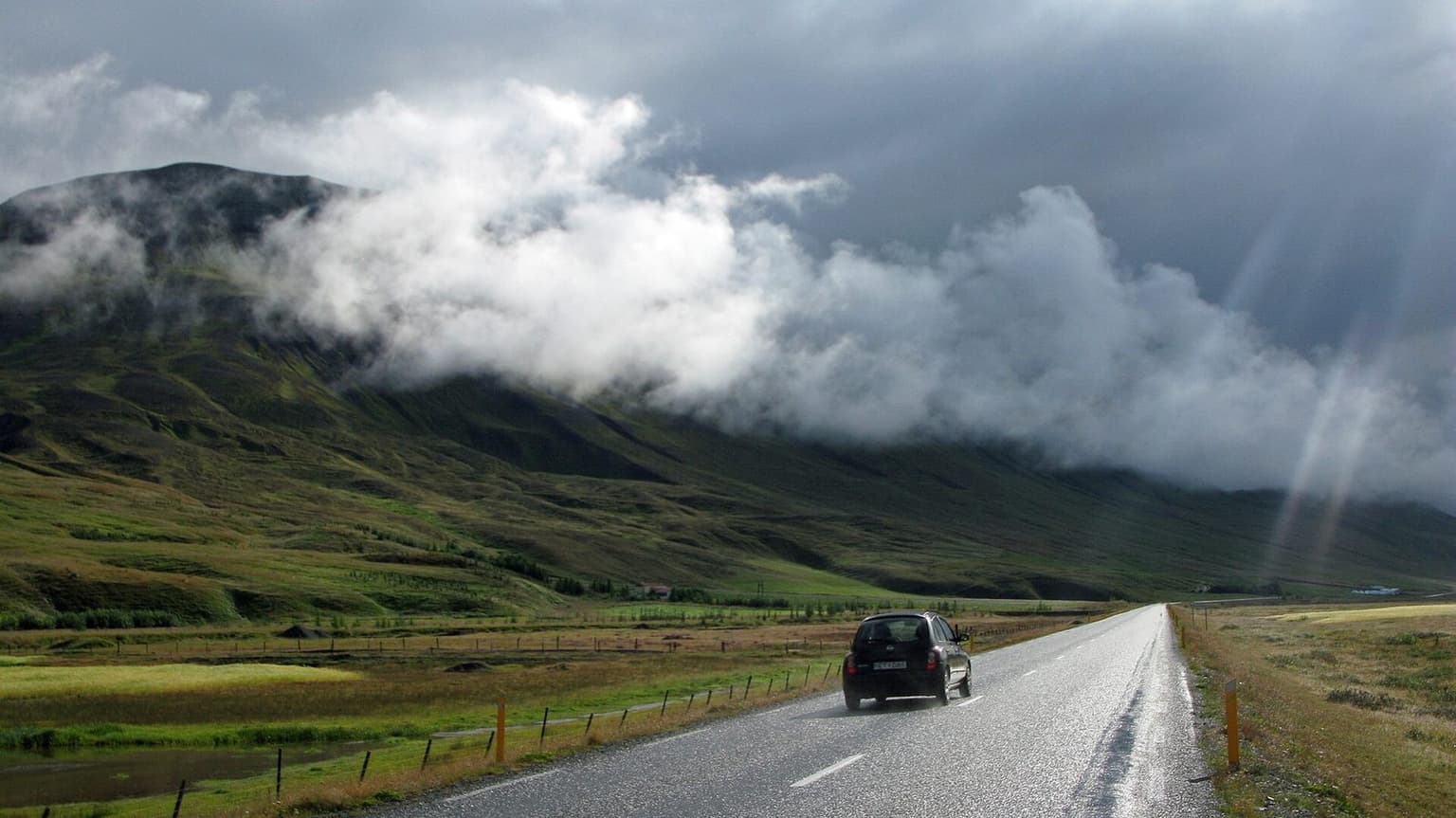
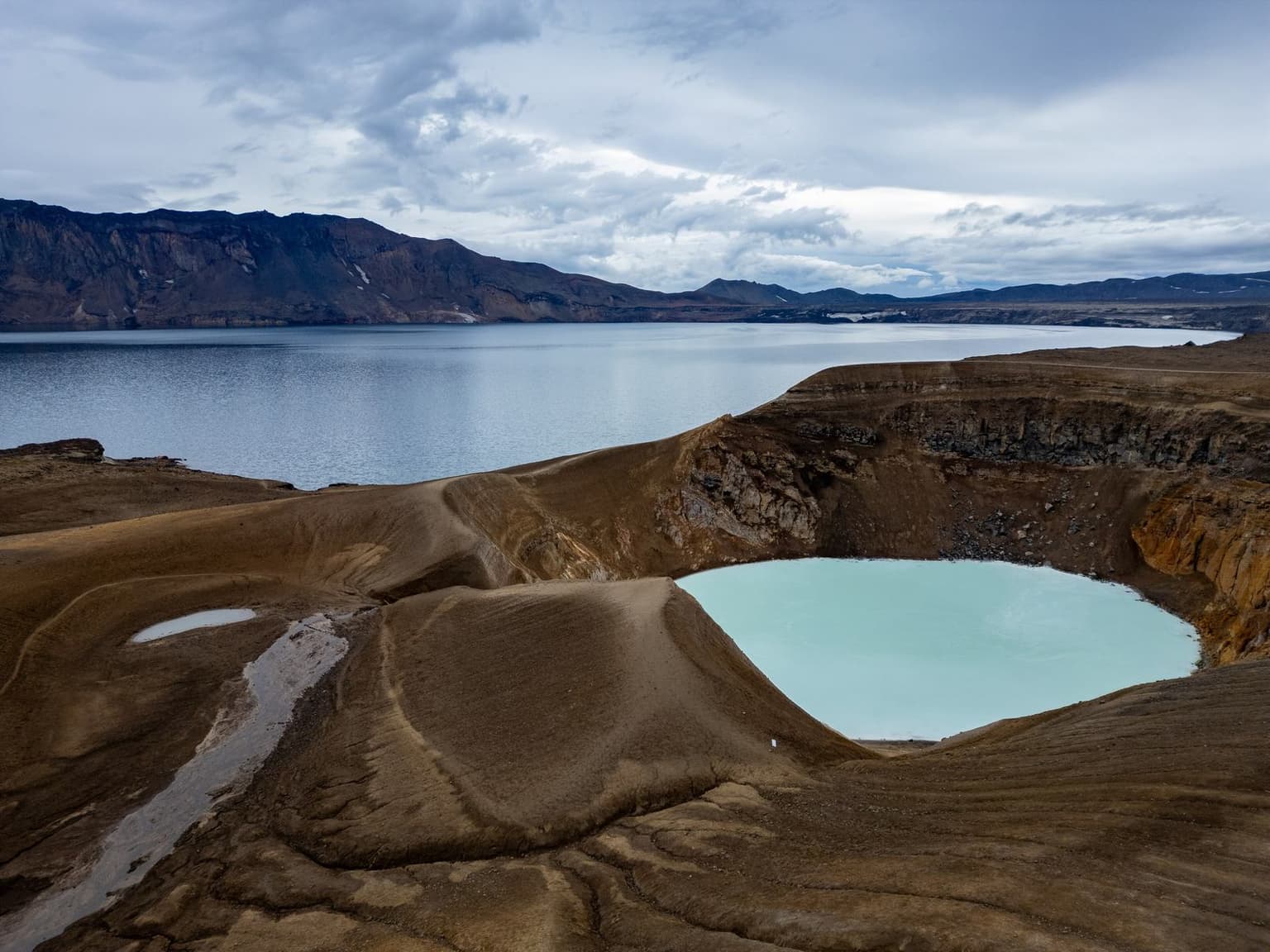
Photograph: Highland F-road, Iceland — Jon Gretarsson / Wikimedia Commons, CC BY-SA 3.0 (CC BY-SA 3.0)

The ledger
Move the start date and every day's daylight recomputes; change the fuel figures and the cost follows. Distances are the road authorities'; driving minutes assume normal conditions.
Season: Late June to early September, and only on the days the roads are listed open on umferdin.is. Kjölur opens around 1–6 June on average, F208 north around 2 June, F88 and F910 in the second half of June (Vegagerðin tables); safetravel.is: F-roads are usually closed from mid-September until June or July
Fuel = km ÷ 100 × 10 l × 284 ISK/l, price dated 2026-11 (source on the page). Accommodation budget and food budget are bands, not numbers, for 2 people. Daylight is computed for each day's midpoint; a day marked dark has more driving minutes than daylight minutes.
| Day | Date | Leg | km | Drive | Daylight | Fuel | Night |
|---|---|---|---|---|---|---|---|
| 1 | 10 Jul | Reykjavík → Hvolsvöllur | 100 | 1:15 | 19:57 | 2,840 | Hvolsvöllur |
| 10 Jul · night in Hvolsvöllur. Hvolsvöllur, Þórsmörk — Route 1 to Hvolsvöllur, then Þórsmörk by the scheduled summer highland bus from the village (several operators; none recommended). F249 fords the Krossá, which is unbridged; it is a bus road unless you drive a high-clearance 4x4 with river experience. Leave the car. | |||||||
| 2 | 11 Jul | Hvolsvöllur → Landmannalaugar | 110 | 2:15 | 19:59 | 3,124 | Landmannalaugar (hut or tent) |
| 11 Jul · night in Landmannalaugar (hut or tent). Hella, Landmannalaugar — Routes 1 and 26 past Hella to Sigalda, then F208 north: 40 km of gravel with no river crossing until the small ford at the campsite entrance, where you park on the near side. Umhverfisstofnun requires a parking reservation 08:00–15:00 in summer. Fuel at Hella or Hrauneyjar. | |||||||
| 3 | 12 Jul | Landmannalaugar → Hveravellir | 270 | 5:25 | 20:11 | 7,668 | Hveravellir (hut or tent) |
| 12 Jul · night in Hveravellir (hut or tent). Hella, Gullfoss, Kjölur (road 35), Hveravellir — F208 back to Route 26, round by Hella and Route 30/35 to Gullfoss (fuel at Flúðir or Geysir), then Kjölur (Route 35, no F-prefix): 91 km of gravel across the plateau between Langjökull and Hofsjökull, bridged throughout. Opening 2021–2025: earliest 30 May, latest 14 June. | |||||||
| 4 | 13 Jul | Hveravellir → Mývatn | 340 | 5:05 | 20:59 | 9,656 | Reykjahlíð (Mývatn) |
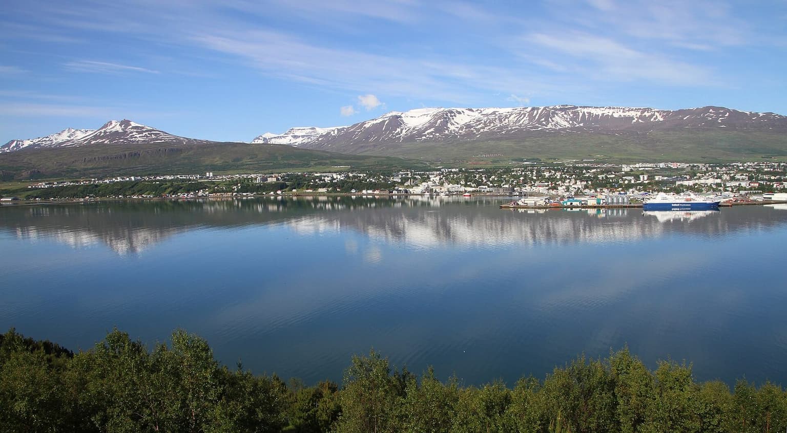
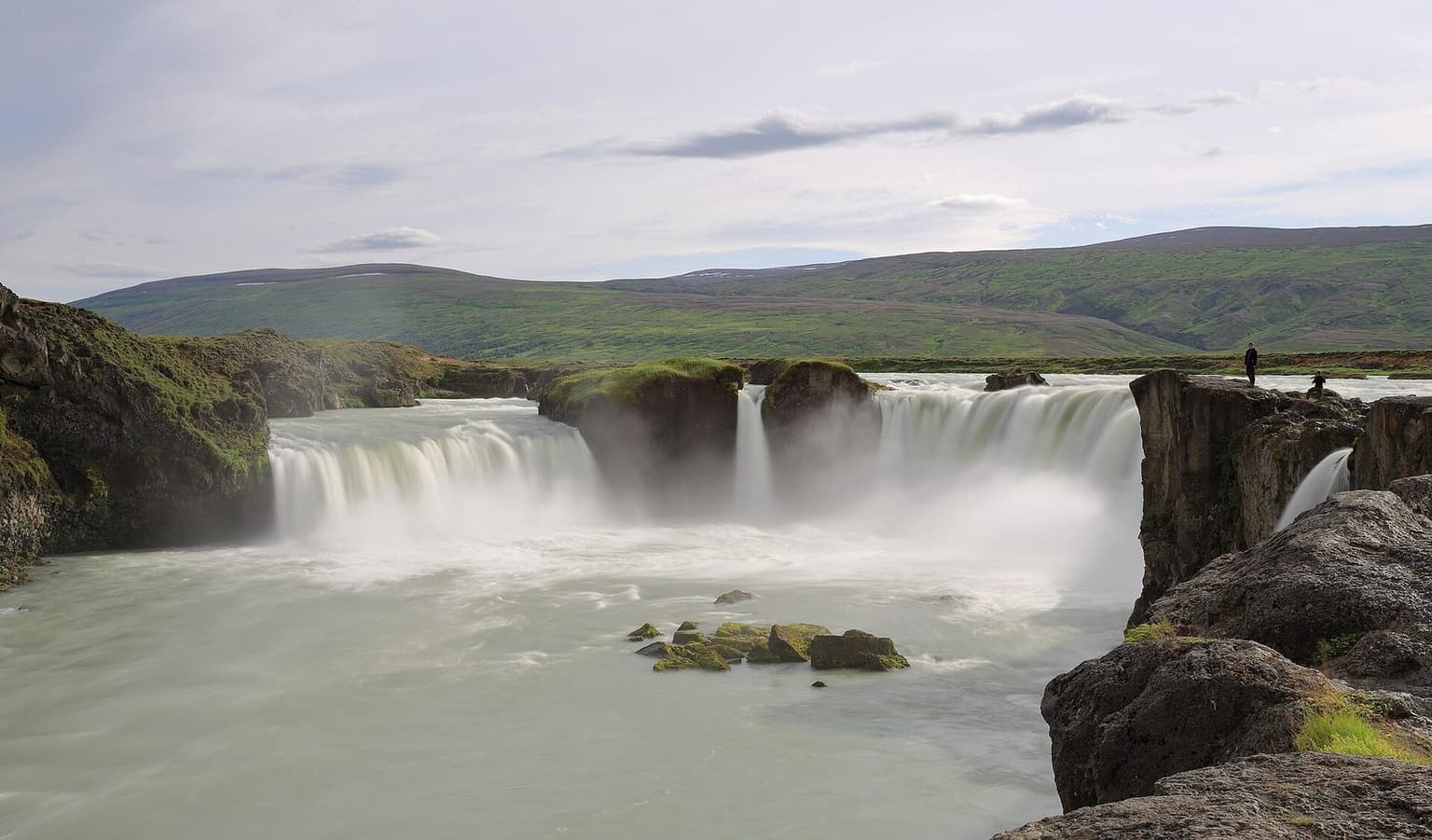
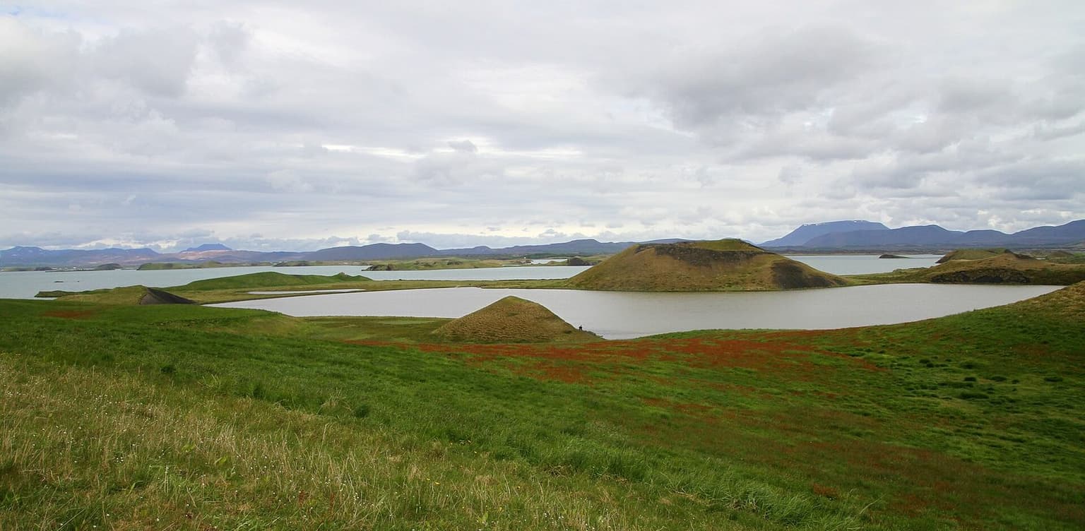
| 13 Jul · night in Reykjahlíð (Mývatn). Akureyri, Goðafoss, Mývatn (Reykjahlíð) — Kjölur north (gravel to Blöndudalur, then paved) to Blönduós, Route 1 east through Akureyri and past Goðafoss. Fuel at Blönduós and Akureyri. The long paved day that connects the two highland halves. | |||||||
| 5 | 14 Jul | Mývatn → Mývatn | 320 | 6:55 | 20:36 | 9,088 | Reykjahlíð (Mývatn) |
| 14 Jul · night in Reykjahlíð (Mývatn). Askja, Mývatn (Reykjahlíð) — Route 1 to Möðrudalur (70 km, paved, fuel), then F905 and F910 to Drekagil (90 km), the 8 km track to Vikraborgir and the 2.5 km walk to Víti; and all of it back. F88 by Herðubreiðarlindir is shorter but crosses the Lindaá and Grafarlandaá unbridged. Opening 2019–2023: F88 earliest 14 June, latest 1 July; F910 latest 26 July. | |||||||
| Total | 1,140 | 20:55 | — | 32,376 | 5 nights | ||
Five days in the highlands is sane only if the roads are open, and the roads are open only when the road authority says so. That is the whole premise of this ledger. Each highland row carries the published opening window for its road — Vegagerðin's tables of earliest, latest and average opening dates across five seasons — and the start date you choose is read against them. The route itself is built to avoid the rivers: Þórsmörk is done by the scheduled bus because F249 fords the Krossá; Landmannalaugar is reached by the northern F208 from Sigalda, which has no crossing until the campsite; Kjölur is bridged throughout; Askja is approached by F905 and F910 from Möðrudalur rather than by F88 and its two fords. It comes to about 1,140 km and 21 hours of driving, roughly 400 km of it on gravel or F-road, and it ends at Mývatn rather than Reykjavík so that the 7-hour Askja day is not followed by a 6-hour drive home. It is for a party of two to four with a 4x4 whose rental contract allows F-roads, between late June and early September.
Arithmetic: road legs routed over OpenStreetMap with OSRM, checked against the Wikipedia lengths for Kjölur (about 165 km Gullfoss to Blöndudalur) and the Askja approach (about 100 km of F-road from Route 1); 80 km/h on paved road, 40 on Kjölur's graded gravel, 30–35 on F-roads, rounded to five. Stops on top. Consumption is set at 10 l/100 km because that is what a 4x4 does at those speeds.
Day 1 — Reykjavík to Hvolsvöllur, and Þórsmörk by bus, 100 km
Route 1 to Hvolsvöllur, 100 km, and park. The scheduled highland buses leave from the village in summer for Þórsmörk, cross the Krossá in vehicles built for it, and come back in the afternoon; several companies run them, the timetable is theirs, and none is recommended here. If the day's timetable does not allow a return, stay the night in Þórsmörk and shift the rest of the ledger by one. The reason for the bus is the river: F249 has no bridge over the Krossá, the bed moves, and safetravel.is puts it plainly — "Know that no insurance covers any damage of a vehicle while crossing a river!" and "If you're unsure of crossing a river then don't do it, turn around". Valahnúkur from Langidalur is the two-hour walk.
Day 2 — Hvolsvöllur to Landmannalaugar, 110 km
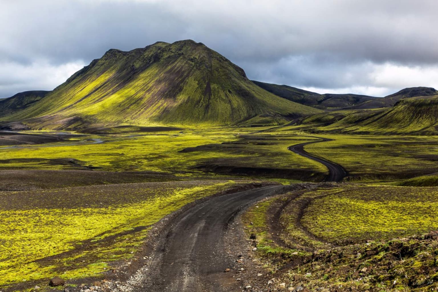
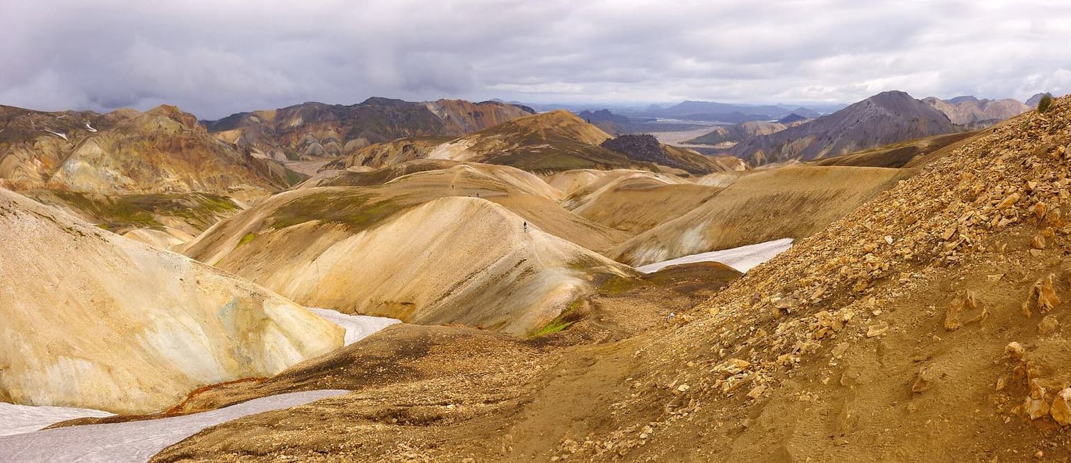
Route 1 to Hella (fuel), Route 26 north past Hrauneyjar (the last fuel) to Sigalda, then F208 north. This is the approach that makes Landmannalaugar possible in a rental 4x4: 40 km of gravel and washboard with no river until the small ford at the campsite, where you leave the car on the near side and walk the footbridge. Vegagerðin's 2021–2025 table has the Sigalda–Landmannalaugar section opening between 23 May and 23 June, average 2 June. The Environment Agency (Umhverfisstofnun) has required a parking reservation for arrivals between 08:00 and 15:00 in summer since 2024; it is booked online and the fee is on their page. The southern F208 and the F225 Dómadalur road both have real fords and are not in the ledger. Laugahraun and the hot stream are the afternoon; Brennisteinsalda the longer walk.
Day 3 — Landmannalaugar to Hveravellir by Kjölur, 270 km
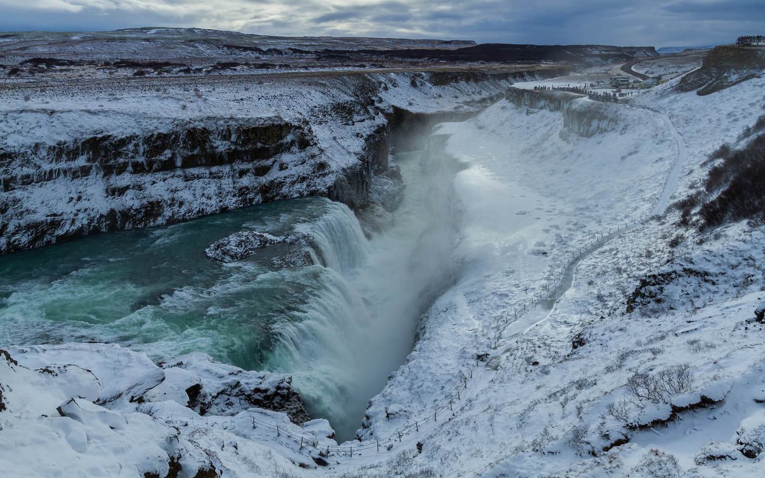
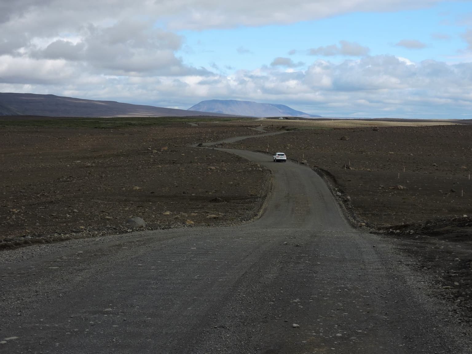
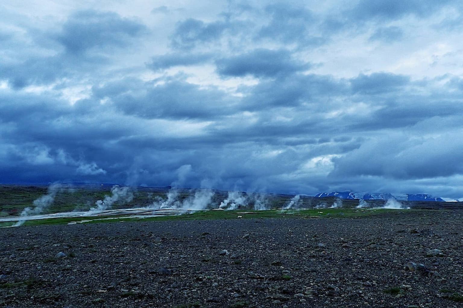
Out the way you came, round by Hella, and up Routes 30 and 35 through Flúðir (fuel) to Gullfoss; 180 km of mostly paved road before the plateau. Kjölur — Route 35 without an F, which matters for some rental contracts — is 91 km of graded gravel from Gullfoss to Hveravellir between Langjökull and Hofsjökull, bridged throughout, open to ordinary cars in summer by the Icelandic Wikipedia's description and still a road where 40 km/h is the honest average. Vegagerðin's table: Gullfoss–Hveravellir opened between 30 May and 14 June in 2021–2025, average 1 June. Hveravellir is the hot-spring field at the top with huts, a campsite and a pool; Kerlingarfjöll is a 15 km detour on F347 that the ledger leaves out.
Day 4 — Hveravellir to Mývatn, 340 km
Kjölur north — the Hveravellir–Blönduvirkjun section, opening 1–14 June on the same table — is gravel down to the Blanda dam road and paved from there to Blönduós on Route 1. Then the Ring Road east: 147 km to Akureyri (fuel), Goðafoss beside the road, 84 km to Reykjahlíð. It is a long paved day and it is the price of joining the two highland halves without Sprengisandur, which has fords and opened between 21 June and 13 July in 2021–2025.
Day 5 — Askja from Mývatn and back, 320 km
The long day, and the one the opening tables decide. Route 1 east to Möðrudalur (70 km, paved, the last fuel), then F905 and F910 across the Ódáðahraun to the Dreki huts at Drekagil, 90 km of lava track at 30–35 km/h, then the 8 km track to Vikraborgir and the 2.5 km walk to Víti and the caldera lake. Back the same way. The handbook table for 2019–2023 has F905 opening between 13 and 30 June, F910 between 14 June and 26 July, and F88 — the shorter Herðubreiðarlindir approach, which crosses the Lindaá and Grafarlandaá without bridges — between 14 June and 1 July. The English Wikipedia article puts the Askja roads' season at roughly late June to early October. Seven hours of driving plus two of walking fits a July day; it does not fit an August evening after a late start, and the Dreki huts are the fallback bed.
What it costs
Fuel: 1,140 km at 10 l/100 km is 114 litres, priced at the dated figure on the Iceland country page; carry a full tank out of Hrauneyjar and out of Möðrudalur, because there is nothing on the plateau. Beds are huts and campsites in the budget band at Landmannalaugar and Hveravellir — booked through the hut associations months ahead in July — and guesthouses at Hvolsvöllur and Reykjahlíð. The fees that exist: the Landmannalaugar parking reservation, hut and campsite charges, the Vatnajökull National Park service fee at Dreki if levied that season; all published by the bodies that charge them. The 4x4 itself is the cost that dominates, and it is a band, not a number.
What goes wrong
Rivers, even on a ledger built to avoid them: a wet week raises the campsite ford at Landmannalaugar and the small streams on F910, and safetravel.is's rules are the rules that count — "drive very slowly in lowest gear, low drive and steady – do not switch gears while in the water!", go in downstream of the line you walked, and turn round if unsure. The car: "Notice that not all 4WD vehicles are good for the F-roads!" — the same page says some roads suit a small SUV and others need a large one, and the F910 lava is the latter. Snow in June and sleet in August close roads that were open the day before; the highland map on vegagerdin.is and umferdin.is are the morning check, and "Off-road driving is strictly forbidden" is the sentence that follows every closure. Fuel, on the Askja day, if the tank was not full at Möðrudalur.
Variations
Three days: Landmannalaugar and Þórsmörk only, from a base at Hvolsvöllur, which removes every long day. Seven: add Sprengisandur southbound as the way home, for a vehicle and a driver with the fords in them. For anyone unsure about any of it, the highland bus network and the day tours from Mývatn do the same ground in someone else's vehicle; the car-versus-tours comparison on the site sets out the trade.
Sources
Opening dates: Vegagerðin's opening-of-mountain-roads table (2021–2025) and the June 2024 handbook table (2019–2023) for the roads the newer table omits. River, vehicle and insurance wording: safetravel.is, highland driving. Road lengths: Icelandic Wikipedia (Kjalvegur), English Wikipedia (Askja, Landmannalaugar); legs routed with OSRM over OpenStreetMap, 1 November 2026. Road status: umferdin.is. Ledger checked 1 November 2026.
Questions people ask
Can a rental 4x4 do all of this?
When does the highland season open?
Why is Þórsmörk by bus?
Is Day 5 really 7 hours of driving?
Where does the trip end?
Why 10 l/100 km?
Sources we checked
- Opening of mountain roads — Vegagerðin (IRCA), opening dates 2021–2025 by road and segment
- Opnun fjallvega — Vegagerðin handbook (June 2024), opening dates 2019–2023 including F88, F905 and F910
- Highland driving — safetravel.is (river crossings, 4WD, insurance, closures)
- Mountain roads — Vegagerðin (IRCA), how opening is decided; highland condition map
- Kjalvegur — Icelandic Wikipedia (about 165 km, Gullfoss to Blöndudalur)
- Askja — English Wikipedia (about 100 km of F-road from Route 1 to Dreki; roads open late June to early October)
- Landmannalaugar — English Wikipedia (Umhverfisstofnun parking reservation, summer 08:00–15:00)
- OSRM over OpenStreetMap — all road legs, computed 2026-11-01
- Road conditions — umferdin.is
A road closed, a ferry day changed, a price moved? Tell us; we re-check the ledger and print the new date.
What this route lets you do
Each one is costed in minutes against a driving day, so you can see what the ledger loses before you book it.
- A day on the Westman Islands by ferry
Herjólfur from Landeyjahöfn, 35 minutes each way, 2,700 ISK adult; Heimaey's 1973 eruption museum and a walk on Eldfell. About 6½ hours from Hvolsvöllur.
boat · Iceland4–6 h · Low costadds 6 h 40 to a day - Day hike at Landmannalaugar: Laugahraun loop
The Laugahraun lava loop from the hut, about 5 km and 1–2 hours, plus 3 km up Brennisteinsalda; free to walk, 1,500 ISK to park, roads open about 20 June to 15 September.
hike · Iceland2–4 h · Low costadds 4 h 30 to a day - Earth Lagoon at Mývatn (Jarðböðin)
The geothermal baths above Reykjahlíð, formerly Mývatn Nature Baths: open daily 12:00–22:00, from 7,900 ISK an adult, five minutes from the Ring Road.
lagoon / hot spring · Iceland1.5–2.5 h · Mid costadds 2 h 40 to a day - Forest Lagoon across the fjord from Akureyri
A lagoon in the Vaðlaskógur woods five minutes from Akureyri, open daily 10:00 to midnight, 7,490 ISK adult; the late-night soak of the North.
lagoon / hot spring · Iceland1.5–2 h · Mid costadds 2 h 30 to a day - GeoSea sea baths at Húsavík
Hot mineral seawater pools on the headland above Húsavík harbour, 12:00–22:00 in winter, adult entry 7,490 ISK on the Icelandic list (6,490 on the English); prices to recheck.
lagoon / hot spring · Iceland1.5–2 h · Mid costadds 1 h 55 to a day - Herring Era Museum in Siglufjörður
Five harbour buildings on the herring boom, open daily June–August 10:00–17:00, by appointment in winter, 2,400 ISK adult; 80 minutes from Akureyri.
museum · Iceland1–2 h · Low costadds 4 h 10 to a day - Rafting the Hvítá below Gullfoss
About 90 minutes on grade II glacial water through the Brúarhlöð canyon, May–September, from 22,990 ISK; three hours from the Drumbó base near Geysir.
other · Iceland3 h · High costadds 3 h 40 to a day - Secret Lagoon (Gamla laugin) at Flúðir
An 1891 pool among small hot springs, open daily 10:00–19:00 in winter, 4,500 ISK adult; about 20 minutes' extra driving on a Golden Circle loop.
lagoon / hot spring · Iceland1.5–2 h · Low costadds 2 h 35 to a day - Snowmobile on Langjökull from Gullfoss
A super-truck ride from the Gullfoss car park to the ice and one hour on two-person snowmobiles, all year, about four hours, from 33,500 ISK.
other · Iceland4 h · High costadds 4 h 30 to a day - Tomato lunch in the Friðheimar greenhouse
Tomato soup with bread in a working greenhouse on road 35, kitchen open daily 11:30–16:00, 3,740 ISK; it adds about one minute to a Golden Circle loop.
food · Iceland45–75 min · Low costadds 1 h 30 to a day - Whale watching from Húsavík
A three-hour sailing from Húsavík harbour into Skjálfandi bay, daily 1 March to 30 November, from 12,990 ISK an adult; several operators sail from the same quay.
wildlife · Iceland3–3 h · Mid costadds 3 h 30 to a day - Þórsmörk by highland bus for the day
The scheduled bus from Hvolsvöllur or Reykjavík across the Krossá fords into Þórsmörk and back, 20 June to 5 September; 29,800 ISK return, 3¼ hours in the valley.
hike · Iceland3.5–7 h · High costadds 7 h to a day
Every stop on this route
Other journeys in Iceland
- Copenhagen or Oslo stopover, 2 days
Two days in Copenhagen or Oslo on the way to Iceland: what each adds, how the airport reaches the city, and what changed when PLAY stopped flying.
2 days · Denmark + Norway + Iceland0 km · 0 h drivingChecked 1 Nov 2026 - Greenland add-on from Reykjavík, 5 days
Keflavík to Nuuk, Nuuk to Ilulissat and back by air: no roads, no car, 7 hours 40 of flying, two towns, one icefjord. It changes an Iceland trip's length, not its shape.
5 days · Greenland + Iceland0 km · 0 h drivingChecked 1 Nov 2026 - Iceland South Coast and Golden Circle in 5 days
Reykjavík base, a Golden Circle day, then two south-coast days to Jökulsárlón with nights in Vík and Kirkjubæjarklaustur: about 1,125 km and 14 hours of driving.
5 days · Iceland1,125 km · 14 h 10 drivingChecked 1 Nov 2026 - North Iceland and the Diamond Circle in 5 days
Fly to Akureyri, drive Goðafoss, Mývatn, Dettifoss, Ásbyrgi and Húsavík and fly back: about 360 km and 5 hours of driving, with the 380 km road alternative costed.
5 days · Iceland357 km · 5 h drivingChecked 1 Nov 2026