town · Iceland · South Coast
On the route
- Time needed
- 20–45 min
- Price
- Free — Nothing to pay to stop; fuel and groceries at normal regional prices.
- Season
- Year-round.
- Access
- On the Ring Road itself; flat, with a supermarket and fuel at the roadside.
- Checked
- not yet confirmed on an official source
63.753, -20.224 · Iceland
Hvolsvöllur
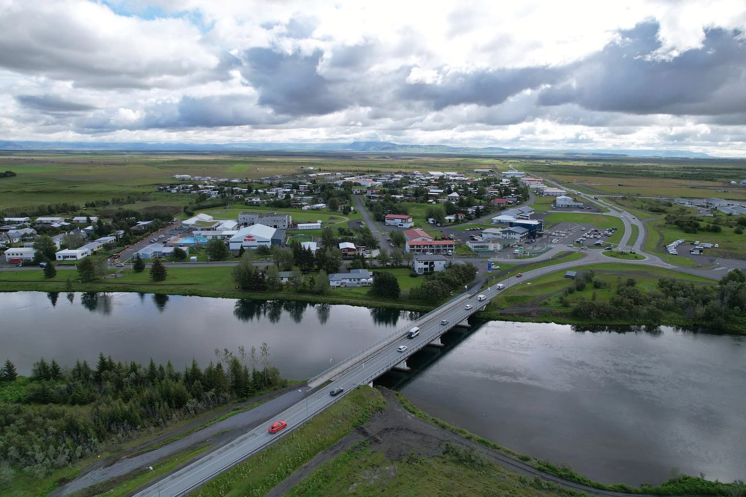
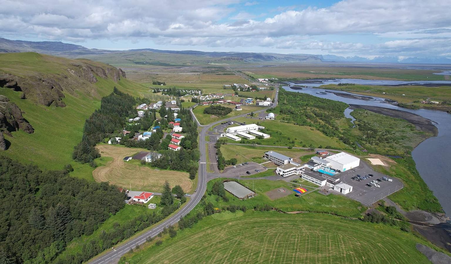
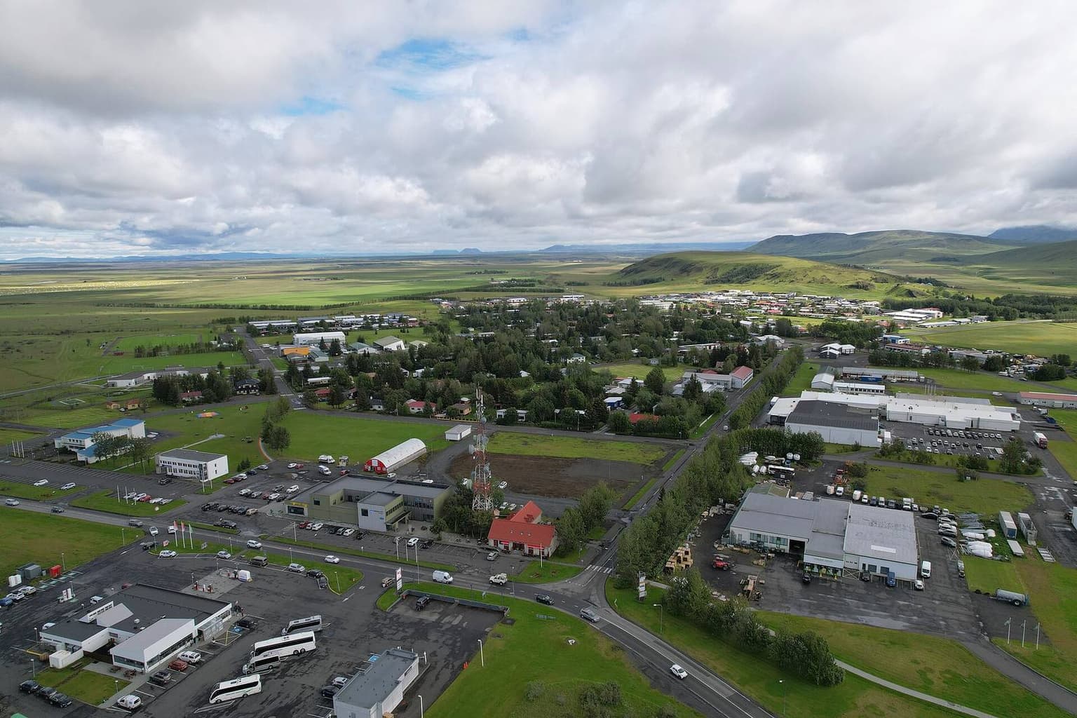
Photograph: Ring Road through Hvolsvöllur with Eyjafjallajökull on the horizon — Steinninn / Wikimedia Commons, CC BY 4.0 (CC BY 4.0)

Hvolsvöllur is the last proper service town before the South Coast turns into a string of car parks. From here to Vík there is no supermarket worth the name, and the waterfalls between, Seljalandsfoss and Skógafoss, have toilets but little else. So this is where an anticlockwise Ring Road day one stops to fill the tank and the cool bag.
The practical line: Krónan has a store on the main road (confirmed on kronan.is today). Fuel is sold in the village, but the operator could not be confirmed on a station map today, so treat it as fuel present, brand unverified. There is a municipal pool, as in every South Coast town; hours were not checked.
Hvolsvöllur also sits at the junction for the Fjallabak and Þórsmörk roads: route 261 up the Markarfljót valley leaves the Ring Road just east of here, and the F249 to Þórsmörk branches from it. Anyone heading into the highlands from the south should treat this as the last fuel and the last signal check before the F-roads, where the official advice is to confirm road status on umferdin.is and leave a travel plan on safetravel.is.
Quiet hours are early morning and after 19:00; the mid-morning rush is coaches and rental cars that all left Reykjavík at the same time. If you want Seljalandsfoss to yourself, be past Hvolsvöllur by 08:00.
Something changed here? Tell us; we re-check against the source and print the new date.
What you can do from Hvolsvöllur
- A day on the Westman Islands by ferry
Herjólfur from Landeyjahöfn, 35 minutes each way, 2,700 ISK adult; Heimaey's 1973 eruption museum and a walk on Eldfell. About 6½ hours from Hvolsvöllur.
boat · Iceland4–6 h · Low costadds 6 h 40 to a day - Day hike at Landmannalaugar: Laugahraun loop
The Laugahraun lava loop from the hut, about 5 km and 1–2 hours, plus 3 km up Brennisteinsalda; free to walk, 1,500 ISK to park, roads open about 20 June to 15 September.
hike · Iceland2–4 h · Low costadds 4 h 30 to a day - Þórsmörk by highland bus for the day
The scheduled bus from Hvolsvöllur or Reykjavík across the Krossá fords into Þórsmörk and back, 20 June to 5 September; 29,800 ISK return, 3¼ hours in the valley.
hike · Iceland3.5–7 h · High costadds 7 h to a day
Journeys that pass Hvolsvöllur
- Iceland Highlands by 4x4 in 5 days
Þórsmörk by bus, Landmannalaugar by the ford-free F208, Kjölur to Hveravellir, Askja from Mývatn: about 1,140 km and 21 hours inside the published opening windows.
5 days · Iceland1,140 km · 20 h 55 drivingChecked 1 Nov 2026 - Iceland South Coast and Golden Circle in 5 days
Reykjavík base, a Golden Circle day, then two south-coast days to Jökulsárlón with nights in Vík and Kirkjubæjarklaustur: about 1,125 km and 14 hours of driving.
5 days · Iceland1,125 km · 14 h 10 drivingChecked 1 Nov 2026 - Iceland Ring Road in 7 days
Anticlockwise from Keflavík: about 1,555 km and 19.5 hours at the wheel in seven days, with nights in Vík, Höfn, Egilsstaðir, Mývatn, Akureyri and Borgarnes.
7 days · Iceland1,555 km · 19 h 35 drivingChecked 1 Nov 2026 - Iceland Ring Road in 10 days with Snæfellsnes
The 7-day loop plus Snæfellsnes, a second east night and the full Diamond Circle: about 2,160 km and 27.5 hours of driving, with a half-day kept for weather.
10 days · Iceland2,160 km · 27 h 40 drivingChecked 1 Nov 2026
Nearby on the same roads