Stuðlagil canyon walk on the east bank
The walk down to the basalt columns from the Klaustursel side: about 5 km return from the Stuðlafoss car park or 10 km from the bridge; an hour's drive from Egilsstaðir.
By supjourney editorial team · published 1 November 2026 · facts checked 1 November 2026 · 2 min read
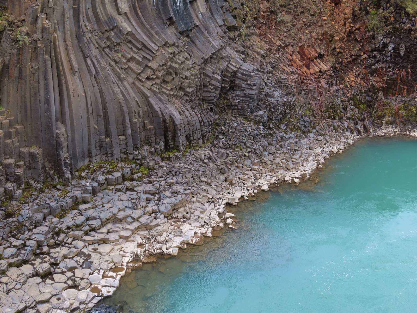
Stuðlagil has two visits, and this page is the longer one: the walk down the east bank of Jökla from the Klaustursel side to the basalt columns at river level, rather than the platforms above the west bank at Grund. It suits walkers with half a day in the East in summer, and anyone who found the platforms too distant. It does not suit a tight Ring Road day, winter, or anyone who might be tempted into the water.
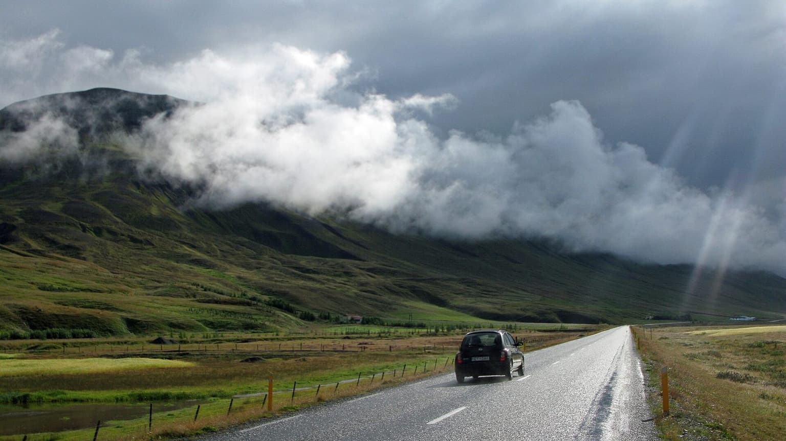
What the regional tourist office says, read today on east.is: the canyon was revealed when the Kárahnjúkar hydro scheme lowered Jökla's level; it is roughly 52 km from Egilsstaðir by its figure; the turn is route 923 off the Ring Road beyond Skjöldólfsstaðir, a gravel road open to all cars all year. For the walk, turn towards Klaustursel farm after about 15 km on 923. There are two car parks there: one by the bridge over Jökla, about a 10 km hike there and back, and one by the Stuðlafoss waterfall, about 5 km there and back. The west-side platforms are about 19 km down 923 at Grund. Entering Jökla, or any glacial river, is extremely dangerous and forbidden. Parking terms on the Klaustursel side are not stated, which is why this page is marked for re-verification.
The arithmetic
Egilsstaðir is the sleep town on day 3 of the seven-day Ring Road and days 3 and 4 of the ten-day Ring Road. Egilsstaðir to Klaustursel is 68 km and about 61 minutes each way by OSRM on OpenStreetMap, more than the regional office's 52 km. The short walk from the Stuðlafoss car park is 5 km, 63 minutes at the site's 80 m/min; with 30 minutes at the columns and the return drive it costs about 215 minutes. From the bridge car park, 10 km is 125 minutes of walking, so about 280 in all. On day 4 of the seven-day route, which drives Egilsstaðir to Mývatn and already lists Stuðlagil, the drive out is on the way and the walk plus the 923 detour is the cost.
What goes wrong
The river: safetravel.is says it is icy cold with a swift current even when it looks calm, that visitors should stay out of the water always, and not walk on the riverbank; paths can be slippery and edges unstable. The colour: overflow is most common from early August to October, and the blue goes. The road: 923 is gravel and, in winter, conditions change in minutes.
Alternatives in the East
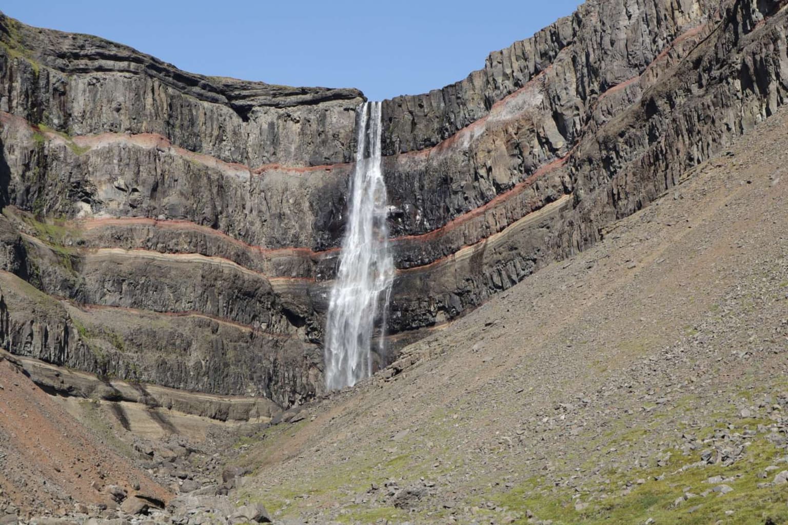
Hengifoss is a shorter, steeper walk 35 km from Egilsstaðir. For a soak afterwards, Vök Baths is eight minutes from town.
Sources
Visit Austurland's Stuðlagil page and safetravel.is's Stuðlagil safety page, read 1 November 2026; drive by OSRM on OpenStreetMap.
Questions people ask
Which side should I visit?
Can I swim or wade?
Why is the water colour different some days?
Is the road open in winter?
Sources we checked
Something changed here? Tell us; we re-check against the source and print the new date.
hike · Iceland · East
The arithmetic
- Time needed
- 1.5–3 h
- Adds to a driving day
- 3 h 35 min, door to door
- Price
- Price not published — No charge to walk; parking terms on the Klaustursel side were not stated on the pages read 2026-11-01. The west-side Grund car park fee is on the Stuðlagil stop page.
- Season
- Summer for the walk; road 923 is gravel and, by Visit Austurland, open all year, but conditions change fast in winter
- Book ahead
- None
- Best time
- June and July, before the reservoir overflow (most common August–October) turns the river grey-brown
- From
- Stuðlagil
- Checked
- not yet confirmed on an official source
What this page adds
A 215-minute ledger cost from Egilsstaðir for the short east-bank version: a 68 km, 61-minute drive each way to Klaustursel (OSRM on OpenStreetMap), Visit Austurland's 5 km return walk from the Stuðlafoss car park at the site's 80 m/min (63 minutes) and 30 minutes at the columns; the 10 km walk from the bridge adds another hour.
Journeys that pass this way
- Iceland Ring Road in 7 days
Anticlockwise from Keflavík: about 1,555 km and 19.5 hours at the wheel in seven days, with nights in Vík, Höfn, Egilsstaðir, Mývatn, Akureyri and Borgarnes.
7 days · Iceland1,555 km · 19 h 35 drivingChecked 1 Nov 2026 - Iceland Ring Road in 10 days with Snæfellsnes
The 7-day loop plus Snæfellsnes, a second east night and the full Diamond Circle: about 2,160 km and 27.5 hours of driving, with a half-day kept for weather.
10 days · Iceland2,160 km · 27 h 40 drivingChecked 1 Nov 2026
More: waterfalls and walks