Hengifoss walk in Fljótsdalur
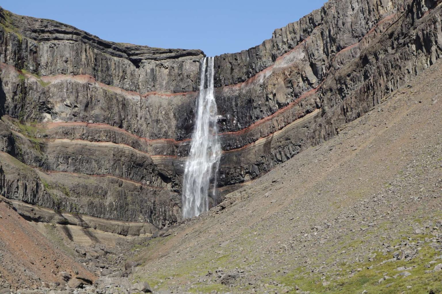
A 2 km climb past Litlanesfoss to a 128 m waterfall in a red-banded gorge, 40–60 minutes up; 35 km from Egilsstaðir round Lake Lagarfljót.
By supjourney editorial team · published 1 November 2026 · facts checked 1 November 2026 · 2 min read
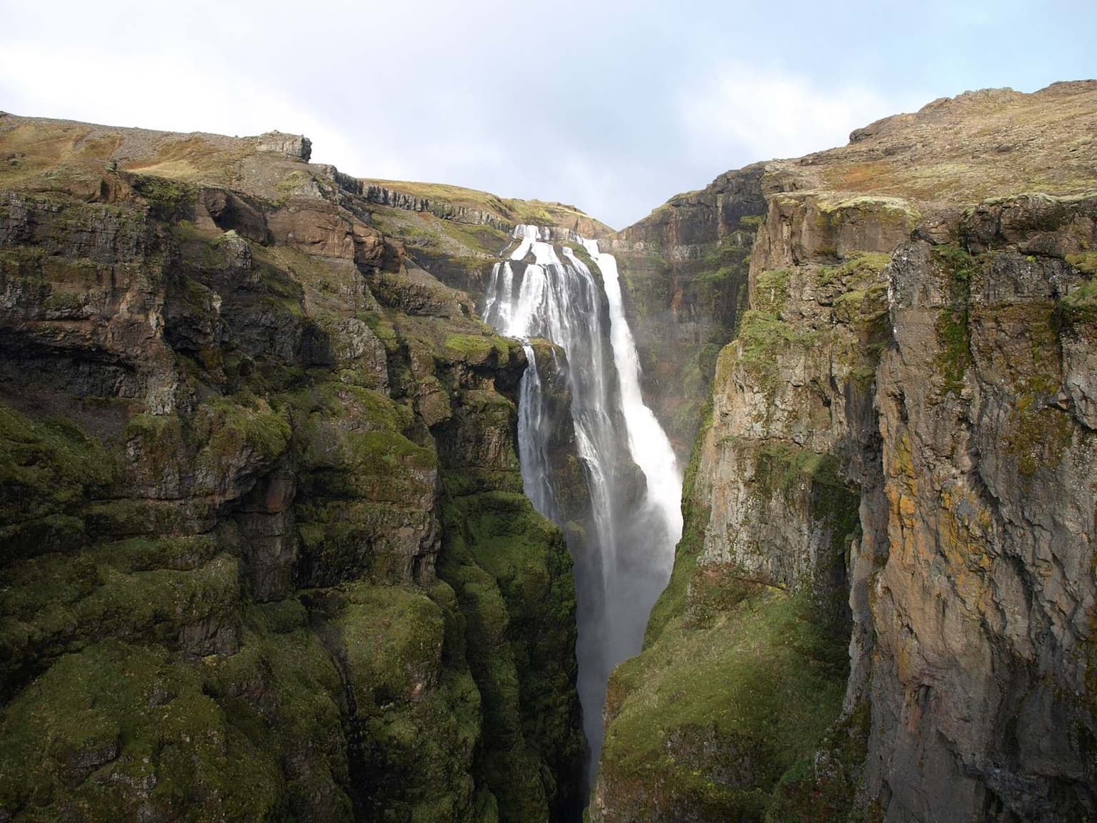
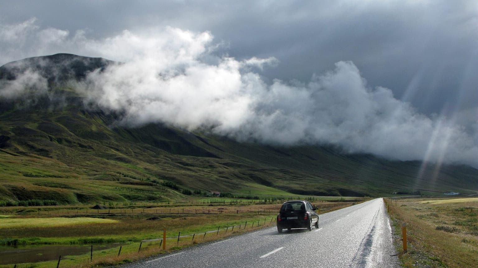
Hengifoss is a half-day walk from Egilsstaðir: a steady climb from a service centre on the shore of Lake Lagarfljót to a 128 m waterfall falling into a gorge whose lava layers are separated by bands of red clay. It suits anyone sleeping in Egilsstaðir with a free morning, families with children who can manage a steady hill, and a Ring Road day with weather too poor for the highlands. It is uphill all the way, and in July the car park is the hard part.
What the regional tourist office says, read today on east.is: Hengifoss is about 35 km from Egilsstaðir by either side of Lagarfljót, the west side via route 931 from the junction by the timber bridge near the airport, the east side via routes 95 and 931 through Hallormsstaður. From the car park, the walk takes 40 to 60 minutes up, through a gate by the service centre, up a flight of stairs, then about 2 km of good gravel trail, moderately steep. Litlanesfoss, framed by basalt columns, is about 1.2 km up. There are two footbridges, one at the upper end before the gorge and one by the car park, so you can walk up one side of the river and down the other. Rangers at the service centre give information. The page does not state a parking fee, which is why this page is marked for re-verification.
The arithmetic
Egilsstaðir is the sleep town on day 3 of the seven-day Ring Road and days 3 and 4 of the ten-day Ring Road. Egilsstaðir to the Hengifoss car park is 34 km and about 38 minutes each way by OSRM on OpenStreetMap. Taking the top of the office's range, 60 minutes up and the same down, plus 15 minutes at the falls and the 76-minute return drive, gives about 210 minutes. On the ten-day route's day 4, which stays in Egilsstaðir with Seyðisfjörður and Stuðlagil on its ledger, Hengifoss replaces one of them; it does not fit beside both.
What goes wrong
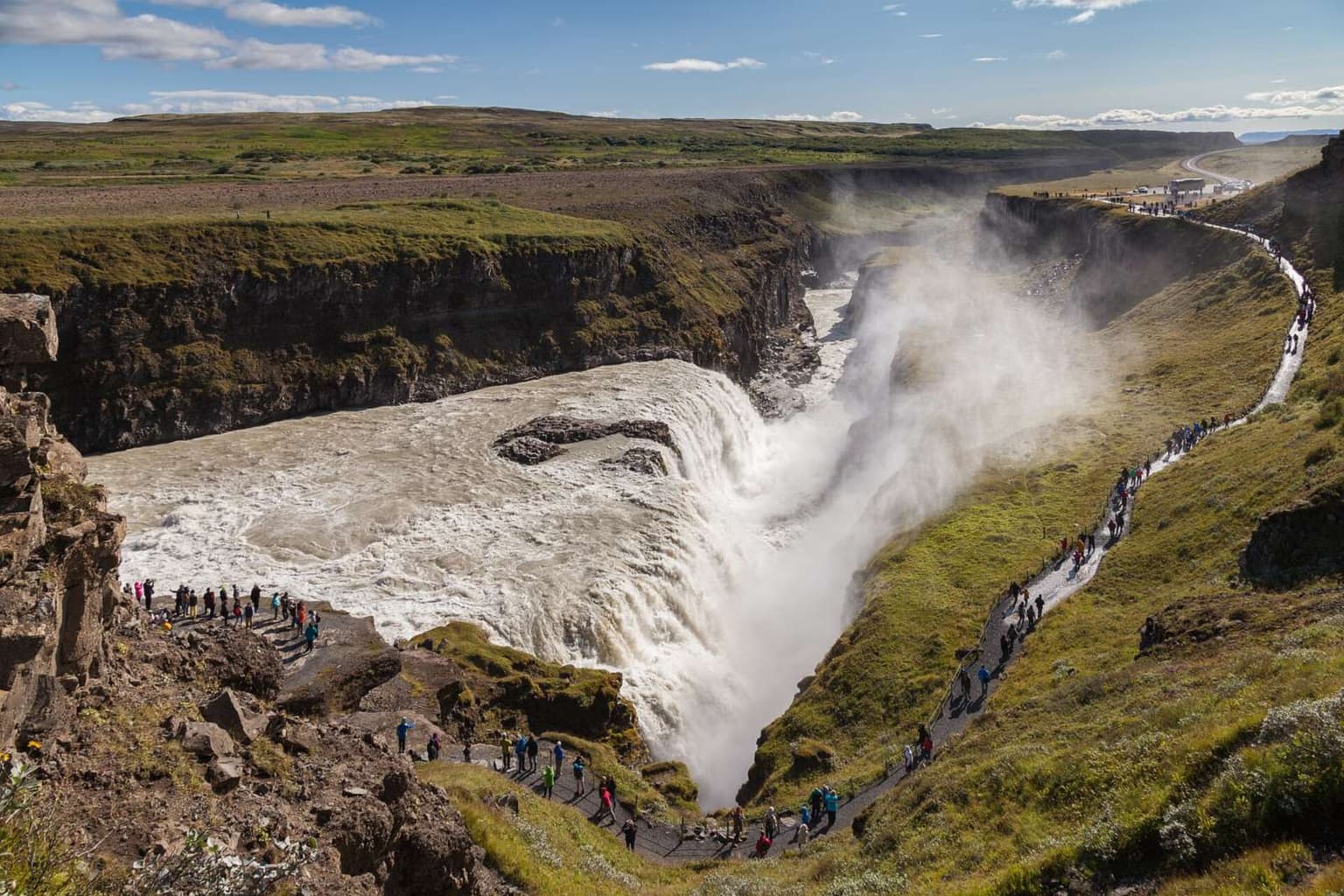
The car park in July: the regional page says it can be jammed with cars during the day. The edge: it warns that walking close to the canyon edge is risky. The flow: in a dry August the falls can thin. Winter: the regional page does not describe winter conditions on the trail, and short daylight leaves little margin. Check safetravel.is and road.is first.
Alternatives in the East
Stuðlagil is the other big walk from Egilsstaðir, an hour north-west. Vök Baths is eight minutes from town for the evening.
Sources
Visit Austurland's Hengifoss page, read 1 November 2026; drive by OSRM on OpenStreetMap; safetravel.is for conditions.
Questions people ask
How hard is the walk?
What is halfway?
Is it safe with children?
What if the car park is full?
Sources we checked
Something changed here? Tell us; we re-check against the source and print the new date.
hike · Iceland · East
The arithmetic
- Time needed
- 1.5–2.5 h
- Adds to a driving day
- 3 h 30 min, door to door
- Price
- Price not published — No charge to walk is stated; parking terms at the service centre were not on the Visit Austurland page read 2026-11-01 — check the sign on arrival.
- Season
- Best June–July; the regional page says flow can drop in a dry August. It does not describe winter conditions
- Book ahead
- None
- Best time
- Morning: the gorge faces south-east, and the car park fills by midday in July
- From
- Hengifoss
- Checked
- not yet confirmed on an official source
What this page adds
A 210-minute ledger cost from Egilsstaðir: a 34 km, 38-minute drive each way (OSRM on OpenStreetMap), Visit Austurland's 40–60 minutes up taken at the top of the range both ways, and 15 minutes at the falls — on a ledger day that already sleeps there, so the waterfall costs time, not a night.
More: waterfalls and walks