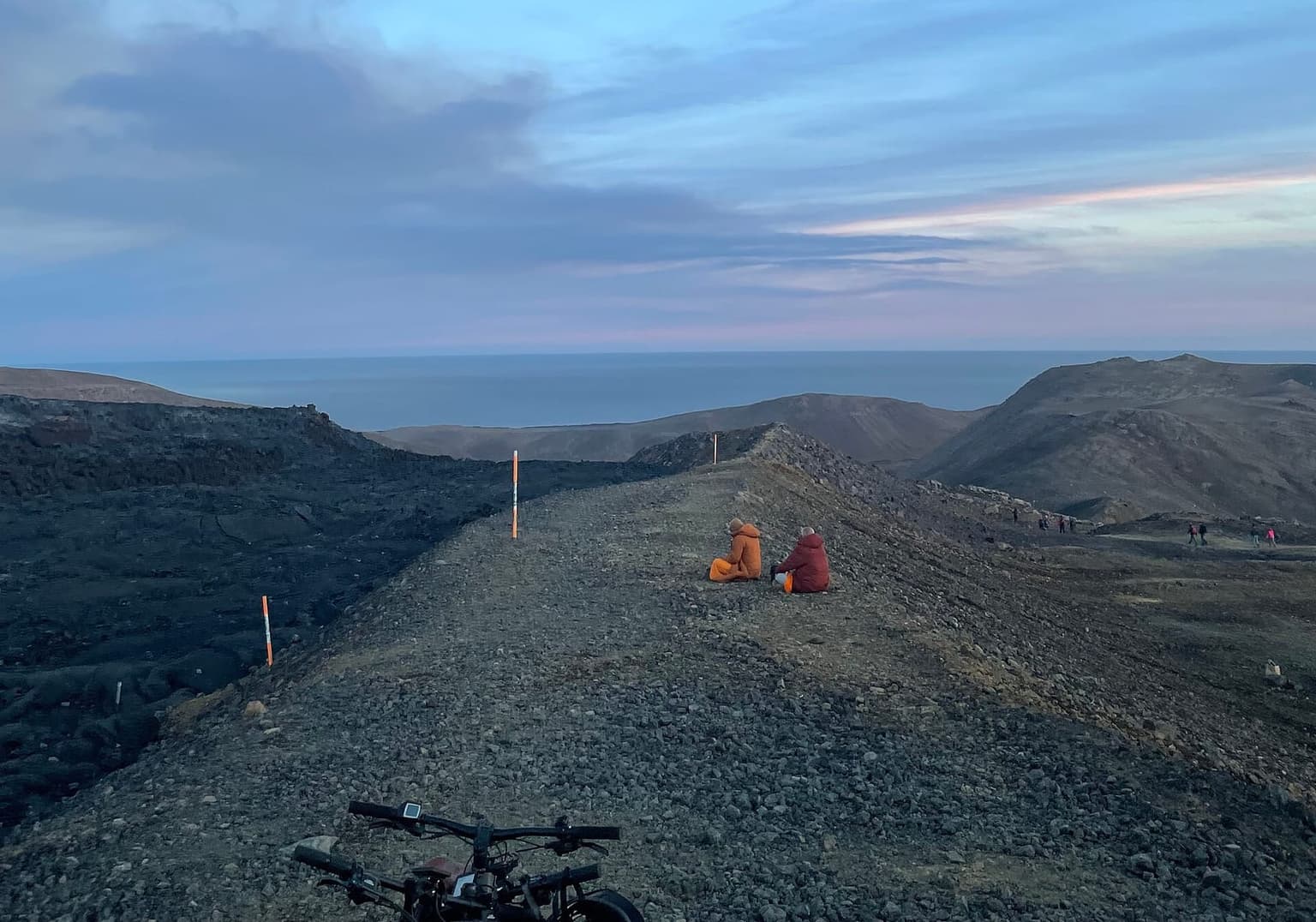
Fagradalsfjall eruption-site hike
Marked trails from car park P1 to the 2021–2023 lava fields at Fagradalsfjall and Litli-Hrútur: 4–5 hours for Path A, open with no eruption under way; parking 1,000 ISK.
By supjourney editorial team · published 30 October 2026 · facts checked 1 November 2026 · 3 min read
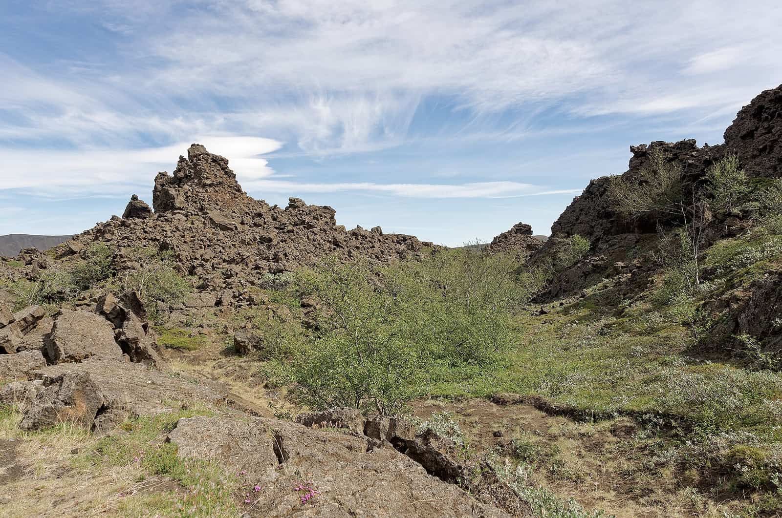
The Fagradalsfjall hike is a half-day walk from a car park on the south-coast road east of Grindavík into the lava fields of the first Reykjanes eruptions, 2021 to 2023: black and ropy, with the craters of Geldingadalir and Litli-Hrútur at the end of marked trails. On 1 November 2026 it is open. It suits fit walkers with a full day and good boots, on a calm, dry day. It does not suit an arrival afternoon, a day with a yellow weather warning, or anyone hoping to see molten rock: there is no eruption under way.
Status, read today. Safetravel.is says there is currently no active volcanic eruption in the Grindavík area, that Grindavík is open, and that from P1 it is possible to hike to Fagradalsfjall, the old eruption site, on paths with gravel, uneven ground and steep hills. It is strictly forbidden to walk on the lava, gas pollution is still possible, and the page points to loftgaedi.is for air quality. Visit Reykjanes says there is no ongoing eruption and that the last one, which started on 16 July 2025, ended on 5 August 2025, the twelfth since March 2021. Its news page also carries a winter-conditions notice that the first snow has fallen in the Reykjanes mountains, and a warning against hiking to Fagradalsfjall during a yellow weather warning. Almannavarnir lists a civil-protection uncertainty phase for seismic unrest on the peninsula, posted 7 August 2025.
The paths, from Visit Reykjanes: Path A, 6–8 km each way and about 2–2½ hours, to the 2021 and 2022 eruption; Path C, about 4 km each way to a viewpoint over all three eruptions, from which the Litli-Hrútur lava but not its crater is visible; Path E, 18–20 km return and 5–6 hours to the July 2023 site, the last 2 km over mossy lava; and the yellow paths, about 2 km each way, to the edge of the 2021 lava. Parking at P1 or P2 is 1,000 ISK per passenger car on parka.is, valid until midnight.
The arithmetic
P1 is 56 km and about 70 minutes from Reykjavík by OSRM on OpenStreetMap. Path A at the middle of Visit Reykjanes's range is about 4½ hours there and back, plus 30 minutes at the craters and a 20-minute buffer for boots, parking payment and a slow descent: 70 + 270 + 30 + 20 + 70 is about 460 minutes. On the airport day of the five-day South Coast and Golden Circle journey: airport to P1 35 km and 45 minutes, P1 to Reykjavík 70 minutes, 320 minutes on the hike, against OSRM's 50-minute direct drive, so about 385 minutes extra. That is more than five extra hours after a flight; in the short days of winter, make it a separate day from Reykjavík.
What goes wrong
Eruptions: access changes at short notice if magma moves; read safetravel.is and Visit Reykjanes on the morning. Weather: wind and snow on the exposed ridges; postpone during warnings. Lava: never step on it. Gas: loftgaedi.is publishes the live gas readings; look before you set out. Parking: unpaid fees turn into a bank claim the next day.
Alternatives on the same road
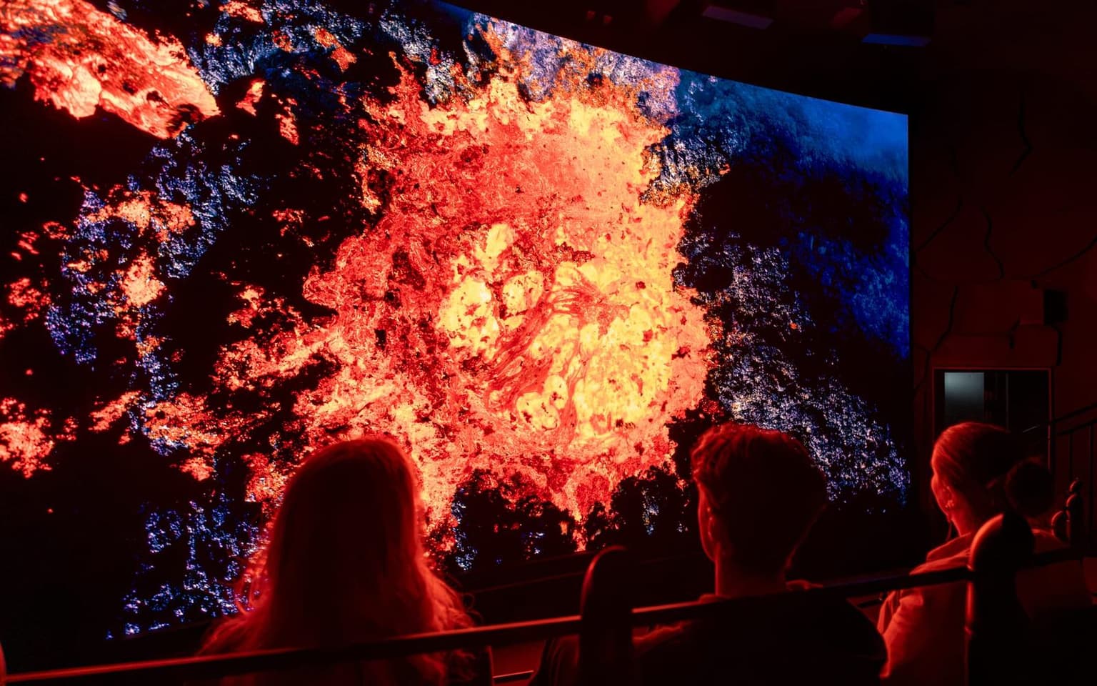
On a weather-warning day, Volcano Express in Harpa puts the real 2021–2024 Reykjanes eruption footage into a motion-seat flight of about ten minutes with a pre-show: walk-in, a show every 15 minutes, 3,990 ISK adult on volcanoexpress.is today, ages 4 and up. Outdoors and shorter, the Reykjanesviti and Gunnuhver walk is 40 minutes west of P1, and Raufarhólshellir is a lava tube under cover.
Questions people ask
Is the eruption site open now?
Which path should I take?
Can I walk on the lava?
What if the weather is bad?
Sources we checked
- Visit Reykjanes — hiking and parking at the eruption sites, read 2026-11-01
- Visit Reykjanes — eruption news, read 2026-11-01
- Safetravel — Eruption and earthquakes in Reykjanes peninsula, read 2026-11-01
- Parka — Volcano Fagradalsfjall parking (zone 2207), read 2026-11-01
- Almannavarnir — current alert levels, read 2026-11-01
Something changed here? Tell us; we re-check against the source and print the new date.
hike · Iceland · Reykjanes
The arithmetic
- Time needed
- 4.5–6.5 h
- Adds to a driving day
- 7 h 40 min, door to door
- Price
- Low cost — Free to walk; parking 1,000 ISK per passenger car, valid until midnight, at P1 and P2; 1,960 ISK late-payment fee if unpaid after 24 hours (parka.is, read 2026-11-01).
- Season
- All year while no eruption closure is in force; winter snow and weather warnings close the hike in practice
- Book ahead
- None; pay parking on parka.is within 24 hours
- Best time
- A dry, calm day with five hours of daylight in hand
- From
- Fagradalsfjall eruption site (P1)
- Checked
- 1 November 2026
What this page adds
A 460-minute cost for Path A from a Reykjavík bed (56 km and 70 minutes' drive each way by OSRM on OpenStreetMap, Visit Reykjanes's 2–2½ hours each way at the middle of the range, 30 minutes at the craters, a 20-minute buffer), against about 385 extra minutes if it is squeezed into the Keflavík airport day: the hike does not fit an arrival afternoon.
Which day of which journey
The first ledger day that reaches Fagradalsfjall eruption site (P1), and what it costs that day: 7 h 40 min door to door.
- Iceland South Coast and Golden Circle in 5 days
Day 1 of 5: Keflavík airport → Reykjavík, night in Reykjavík
1,125 kmChecked 1 November 2026 - Iceland Ring Road in 7 days
Day 1 of 7: Keflavík airport → Vík, night in Vík
1,555 kmChecked 1 November 2026 - Iceland Ring Road in 10 days with Snæfellsnes
Day 1 of 10: Keflavík airport → Vík, night in Vík
2,160 kmChecked 1 November 2026 - Iceland and the Faroe Islands by ferry, 12 days
Day 12 of 12: Vík → Keflavík airport, the last day
2,519 kmChecked 1 November 2026 - Copenhagen or Oslo stopover, 2 days
Day 2 of 2: Copenhagen → Keflavík airport, night in Reykjavík or Keflavík
No drivingChecked 1 November 2026 - Greenland add-on from Reykjavík, 5 days
Day 1 of 5: Keflavík airport → Nuuk, night in Nuuk
No drivingChecked 1 November 2026
More: volcanoes and lava